
Milpitas ZIP Codes by Delivery Role
The Milpitas ZIP code directory is short, but the two codes do different work. ZIP 95035 is the principal residential and business delivery code, with route-dependent reach across central Milpitas, western industrial sectors, and hillside addresses. ZIP 95036 is used for Milpitas post-office boxes. Neither code is a legal neighborhood map. A postal city label can reach beyond an incorporated line, so every edge address needs a second check in county GIS and the assessor's situs record.
| ZIP | Areas Covered | Post Office | Notes |
|---|---|---|---|
| 95035 | Principal Milpitas residential and business routes, including central, west/industrial, and hillside sectors as assigned | Milpitas postal facilities, verified through USPS | Delivery geography varies by route; compare edge addresses with city GIS |
| 95036 | Milpitas post-office boxes | Milpitas Post Office | PO-box-only; not residential geography or a population boundary |
That distinction matters when the postal directory is used to group resident clues. A 95035 address may sit near a county edge or a service boundary, while 95036 says more about where mail is routed than where a person lives. USPS controls the delivery convention; Santa Clara County records control parcel, deed, and court jurisdiction.
Milpitas 95035 Route Sectors
ZIP 95035 should be read as a set of carrier routes, not as a list of legal neighborhoods. Research notes central streets, western industrial and technology districts, and hillside sectors toward Ed R. Levin County Park as useful local context, but it does not establish a neighborhood-by-neighborhood postal polygon. The Main Street core and newer transit-area development can share the same postal code while sitting in different planning or parcel settings.
For a person or address search, write down the complete street address before treating 95035 as a filter. The postal code can point to the right USPS lookup, but it cannot confirm whether the parcel is within incorporated Milpitas, belongs to another service area, or carries a mailing address that differs from its physical location. The county GIS viewer is the better place to inspect the jurisdiction line and the surrounding parcel shapes.
Note: 95035 coverage is route-dependent, so a ZIP-wide conclusion should never be stated as a legal boundary conclusion.
Milpitas 95036 PO Boxes
ZIP 95036 is the PO-box-only code identified in the local research. It is useful when a document gives a Milpitas post-office box, but it should not be used to draw residential geography or estimate who lives in a part of the city. A post-office box is a mail destination. It does not reveal the physical situs of a parcel, and it can route correspondence differently from the address on an assessor or permit record.
When 95036 appears in a record, ask what kind of address it represents. A tax mailing address can belong to an owner who lives elsewhere. A business or family may use a box for correspondence while a deed, permit, or directory entry carries a street address. The postal directory therefore separates mailing clues from physical-location evidence rather than blending both into one resident result.
Trace Milpitas Residents by ZIP Code
A reliable postal-code search is a short chain of checks, not one ZIP filter. Start with the postal address, then create a parcel list, and only then choose the record set that can answer the question. The assessor web service is address/APN keyed rather than a public owner-name or ZIP browse. My Voter Status authenticates one person, while a broader voter-file extract requires an approved statutory purpose.
- Run the complete street address through the USPS address lookup. The form accepts Street Address, City, and State, or a city/state lookup.
- Record the standardized postal result and the physical address separately. Do not replace the situs address with a PO box.
- Use the Santa Clara County assessor address/APN gateway to find the parcel and save its APN.
- Open SCCMap to check the parcel, adjoining lots, jurisdiction, and available layers.
- Use an authenticated voter lookup or a lawful, approved file request only when the purpose and access rules fit; then compare names and dates with the parcel record.
Once a ZIP narrows the address set to a street, the Milpitas by-street directory follows the parcel and record chain one address at a time. That handoff keeps the postal directory from pretending that a postal route is a household list.
USPS Fields for a Milpitas ZIP Search
The USPS lookup is the clearest ZIP-capable form captured in the research. Its fields are modest, which is useful: the result confirms postal standardization without pretending to supply an owner, voter, or occupant. Use the field that matches the evidence in hand, and retain the original wording for later comparisons.
| Field or control | Input | Use in a ZIP search |
|---|---|---|
| Street Address | Street text | Tests a physical delivery address |
| City | City text | Pairs the address with a postal city |
| State | State selection or text | Keeps the city search in California |
| City/state lookup | City and State | Finds postal ZIP choices when a street is not yet known |
| Find / Clear | Buttons | Runs the lookup or removes the prior input |
The returned ZIP is a delivery answer. It is not an assessor search result, a city-limit decision, or proof that a named person occupies the address. Keep the USPS result beside the APN and situs record so later research does not confuse a route code with a parcel key.
Milpitas ZIP Labels and City Limits
Myth: a 95035 mailing address does not, by itself, prove that a parcel lies inside Milpitas. Milpitas sits at the northeastern edge of the Santa Clara Valley near San Jose, Fremont, Alameda County, and the Diablo foothills. Postal city, county, school or service district, and incorporated city are different records questions. A postal directory can point toward the right local sources, but it cannot settle those questions on its own.
Use USPS first to confirm delivery. Then use SCCMap to inspect the city and county context, and use the assessor to verify situs and APN. The research did not locate authoritative USPS neighborhood ZIP polygons, a recent ZIP split, or a recent realignment that would justify a cleaner claim. That absence is a reason to verify each edge address, not a reason to invent a line between named areas.
Boundary check. A postal label answers where mail is routed. SCCMap and the assessor answer different questions about the parcel, jurisdiction, and situs address.
Situs, Mailing, and Legal Address
ZIP research becomes clearer when each address type stays in its lane. The situs is the physical parcel location used by the assessor, permits, and GIS. A mailing address is where tax or other correspondence goes and may sit outside Milpitas. A legal description ties ownership to a subdivision and lot, or to another recorded description, even when a street name or number changes. An APN is the assessor's indexing key; it is not the legal description itself.
- ZIP versus ZIP+4
- The five-digit ZIP identifies a delivery area; the added four digits narrow routing within that area.
- PO-box ZIP
- A code assigned to post-office boxes routes mail to the box and does not describe residential geography.
- Unique ZIP
- A special code may serve one institution or a constrained delivery use rather than a broad population area.
- Carrier route
- A carrier route is a delivery sequence inside the postal system, not a city neighborhood or parcel district.
These definitions explain why a postal directory should be paired with the physical address, APN, subdivision, lot or block, and legal description when the purpose is historical or property research.
Why Milpitas Lacks a ZIP Browse
The county assessor does not offer a public ZIP browse. Its documented search modes are a simple property-address search, an advanced address search, and an APN search. The advanced mode requires Street Number, Street Name, and City, with optional direction, type, and unit fields. The APN mode accepts formats such as 12345678 or 123-45-678. Each mode requires acceptance of the search terms.
Those fields reveal the proper order for assembling a ZIP slice: postal address first, assessor address or APN second, GIS context third. SCCMap can display geography, but layer availability varies with the current viewer. My Voter Status asks for personal authentication and returns the authenticated voter's own status, not a block or ZIP roster. California voter-file access is controlled by Elections Code rules and approved purpose.
A ZIP-wide list may therefore have to be assembled from validated parcels or requested as an existing record series. The California Public Records Act permits a request for identifiable records, but it does not require an agency to create a new list that it does not already keep.
Older Milpitas Directories and ZIPs
Historical ZIP research needs a different method because older directory pages may not carry a ZIP at all. ZIP codes were not used in the early city-directory and telephone-book years. History San José holds Santa Clara County city directories from 1870 through 1979 and county yellow and white pages from 1905 through 2018. The 1971 Library of Congress San Jose telephone directory includes Milpitas listings and prints the locality as Milpts in entries.
For a pre-1963 address, search the printed street, house number, subscriber name, rural route, township, or county label rather than forcing a modern ZIP. Pair the result with a legal description, deed, census schedule, or Milpitas Post item. Modern 95035 or 95036 labels cannot be projected backward onto a ranch-era route or a postwar subdivision that did not yet have the same address system.
Note: A missing ZIP in an old directory is a feature of the era, not evidence that the household or address was absent.
Milpitas ZIP Requests and Privacy
If a needed ZIP-related record is not in a portal, the City of Milpitas NextRequest channel can accept a focused California Public Records Act request. California Government Code sections 7920.000 and following allow a request for identifiable state or local records without explaining a purpose. The agency normally determines within ten calendar days whether responsive records are disclosable, with a written extension of up to fourteen days for unusual circumstances. Inspection is generally free, while duplication costs can apply. A request still does not compel the city to build a new resident-by-ZIP list.
The Milpitas public-records request instructions show the local intake route. The linked capture gives a quick view of the request channel.
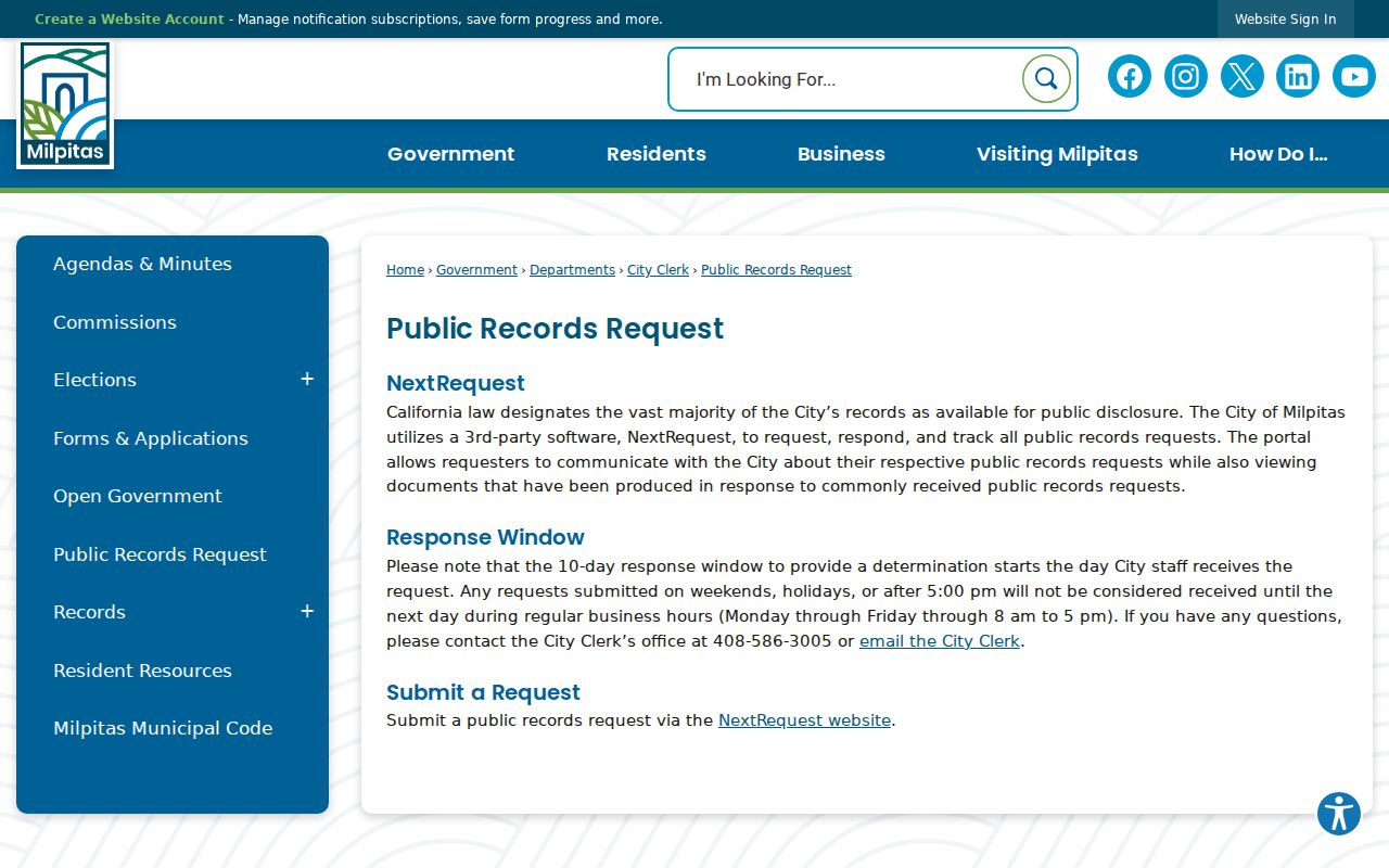
A Milpitas ZIP code directory result is most useful when it names an existing series, date range, address, or parcel reference instead of asking staff to invent a new directory.
Commercial data exposure is a separate issue. California's DROP mechanism lets consumers create a verified profile and send one deletion direction to registered data brokers, subject to statutory exceptions. The California privacy deletion portal is the relevant state route for that task.
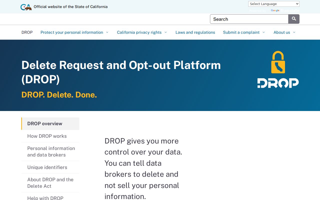
DROP changes commercial-data control, not the underlying county deed, assessor, voter, or court rules. Keep only the identifying details needed for a lawful record search, and treat protected addresses as protected even when a ZIP is known.